
Aerial Property Visibility & Documentation
FAA-certified aerial photos and video for property managers, owners, and teams who need clear visibility for reporting, maintenance, insurance documentation, and marketing.
Based in Delaware. Serving nearby regions. Fully insured. Fast turnaround.
No obligation. Share a few details and I will recommend the right approach for your property.
Visibility That Holds Up Over Time
Aerial photos and video that show layout, access, surroundings, and condition, creating a clear visual record you can rely on for planning, reporting, and communication.
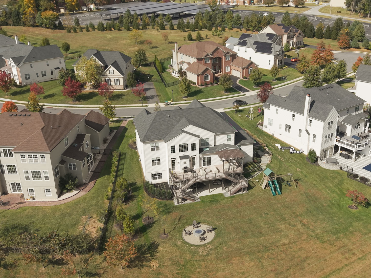

People responsible for a property need clear visibility, not just photos. Whether you manage it day to day, own it long term, or market it when needed, aerial documentation provides a reliable visual record for planning, communication, and decision making.
What Gets Missed From the Ground
Documentation Options
Routine Aerial Updates
Consistent aerial photos captured from matched angles. Useful for tracking condition, seasonal changes, access, and site context over time.
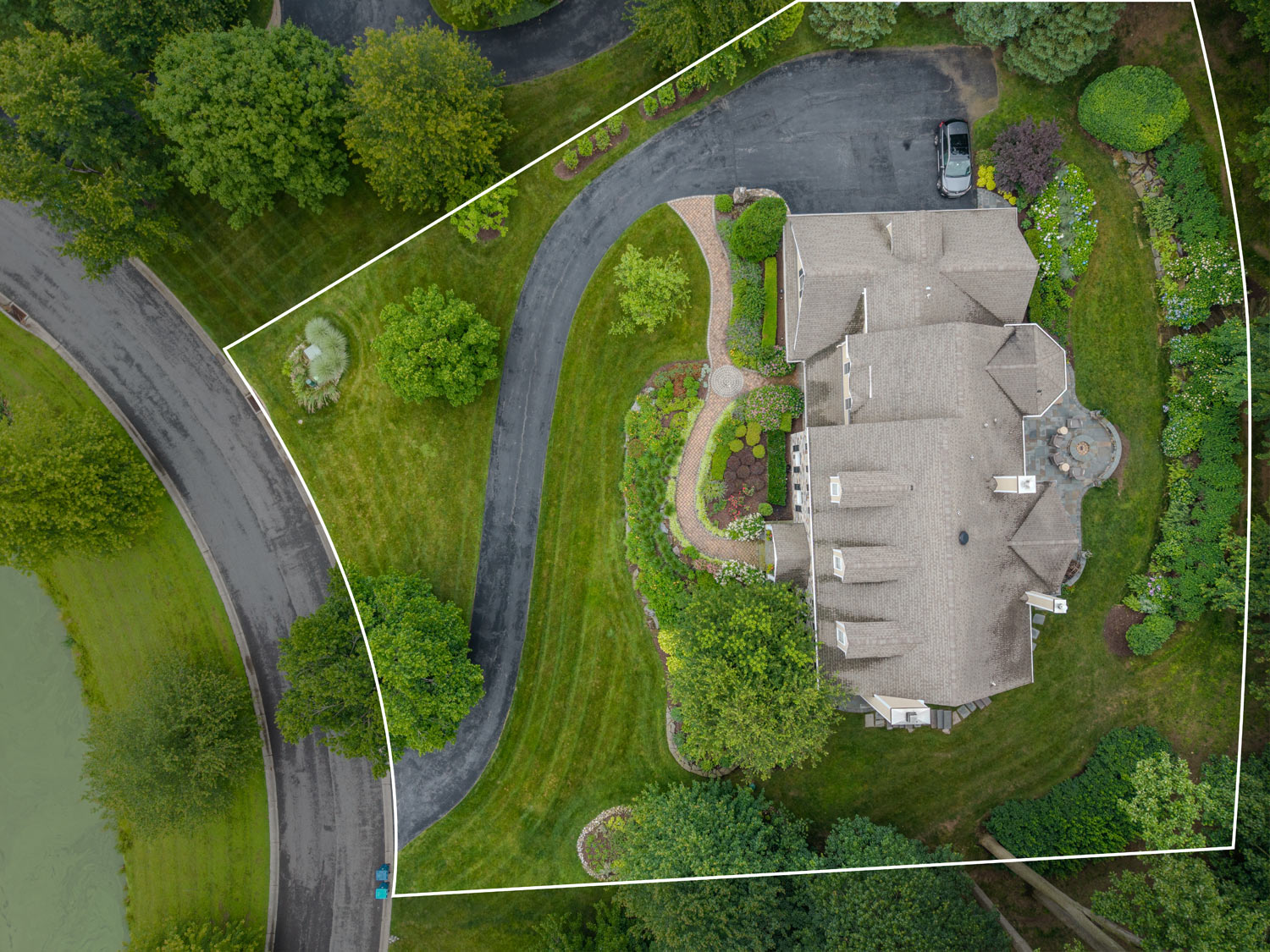
Condition and Maintenance Visibility
High resolution images that help identify roof condition, drainage patterns, tree growth, access issues, and other maintenance considerations.
Marketing and Presentation Media
Clean aerial photos and short video clips that can be used for websites, proposals, investor updates, or occasional property promotion
Time Stamped Visual Records
Delivered files include dates and context, creating a reliable visual archive you can reference later for reporting, planning, or documentation needs.
Serving Property Managers, Agents, and Ownership Teams
This service is built for professionals who manage, market, or maintain properties. Whether you’re overseeing a portfolio, promoting a listing, or documenting a site over time, I deliver consistent, high-quality aerial media that supports planning, reporting, and marketing efforts alike.
Property managers
Coordinate site visibility and documentation across portfolios.
Institutional property owners
Get consistent updates without being on-site.
HOAs and site supervisors
Monitor shared spaces, identify maintenance needs early.
Short-term/vacation rental operators
Promote your listings visually and check on property condition.
Owner-reps in multi-state management
Stay connected with every property—no matter the zip code.
Real estate agents and brokers
Get fast, polished aerial visuals to help listings stand out on MLS, Zillow, and social media. Ideal for both residential and commercial properties.