
Construction Drone Photography & Video Documentation
FAA-certified aerial photos and 4K video for builders, contractors, and project managers who need clear progress tracking, safer site visibility, and marketing-ready visuals.
Based in Delaware. Serving nearby regions. Fully insured. Fast turnaround.
No obligation, quick details help determine scope and timing.
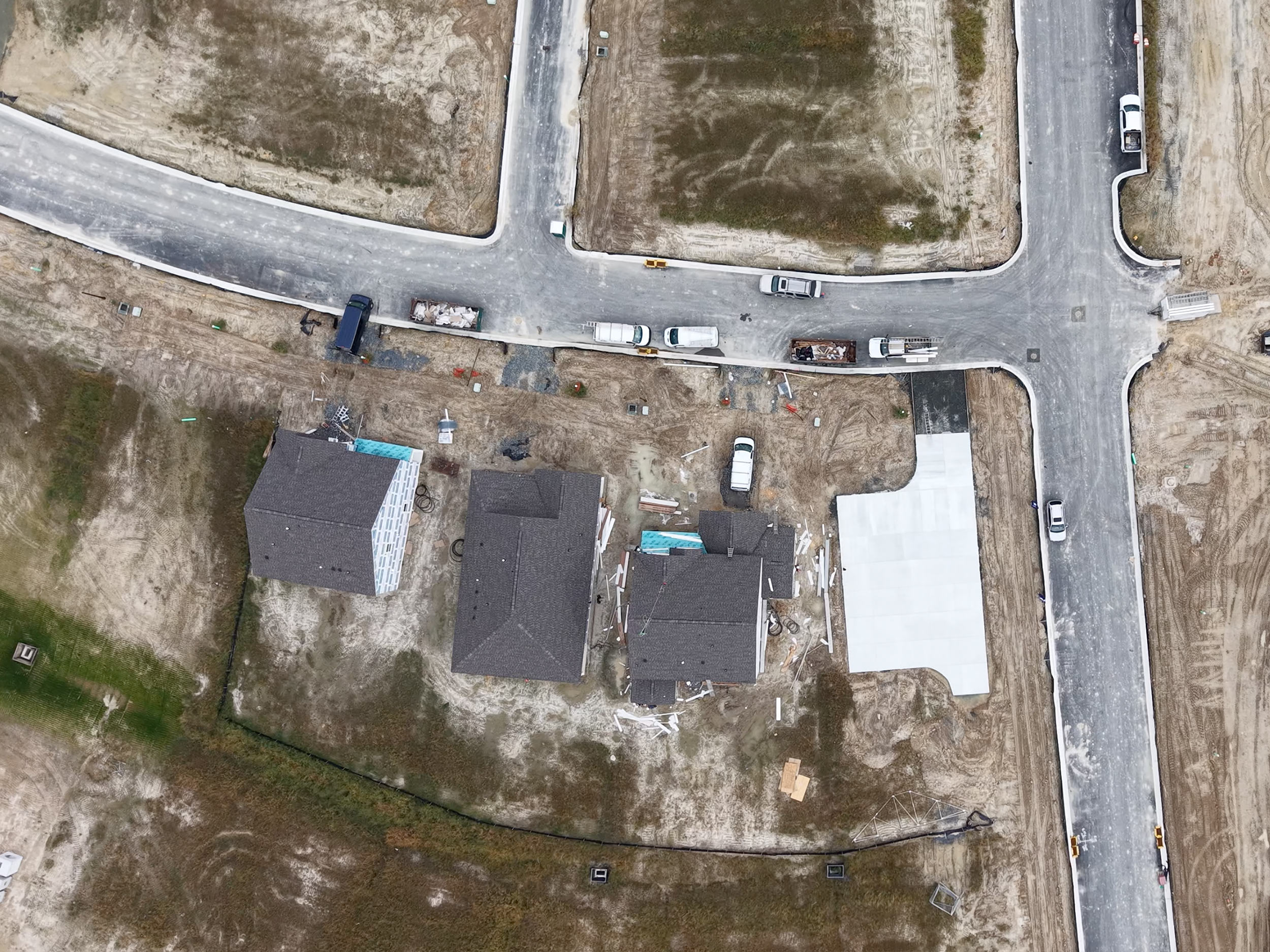
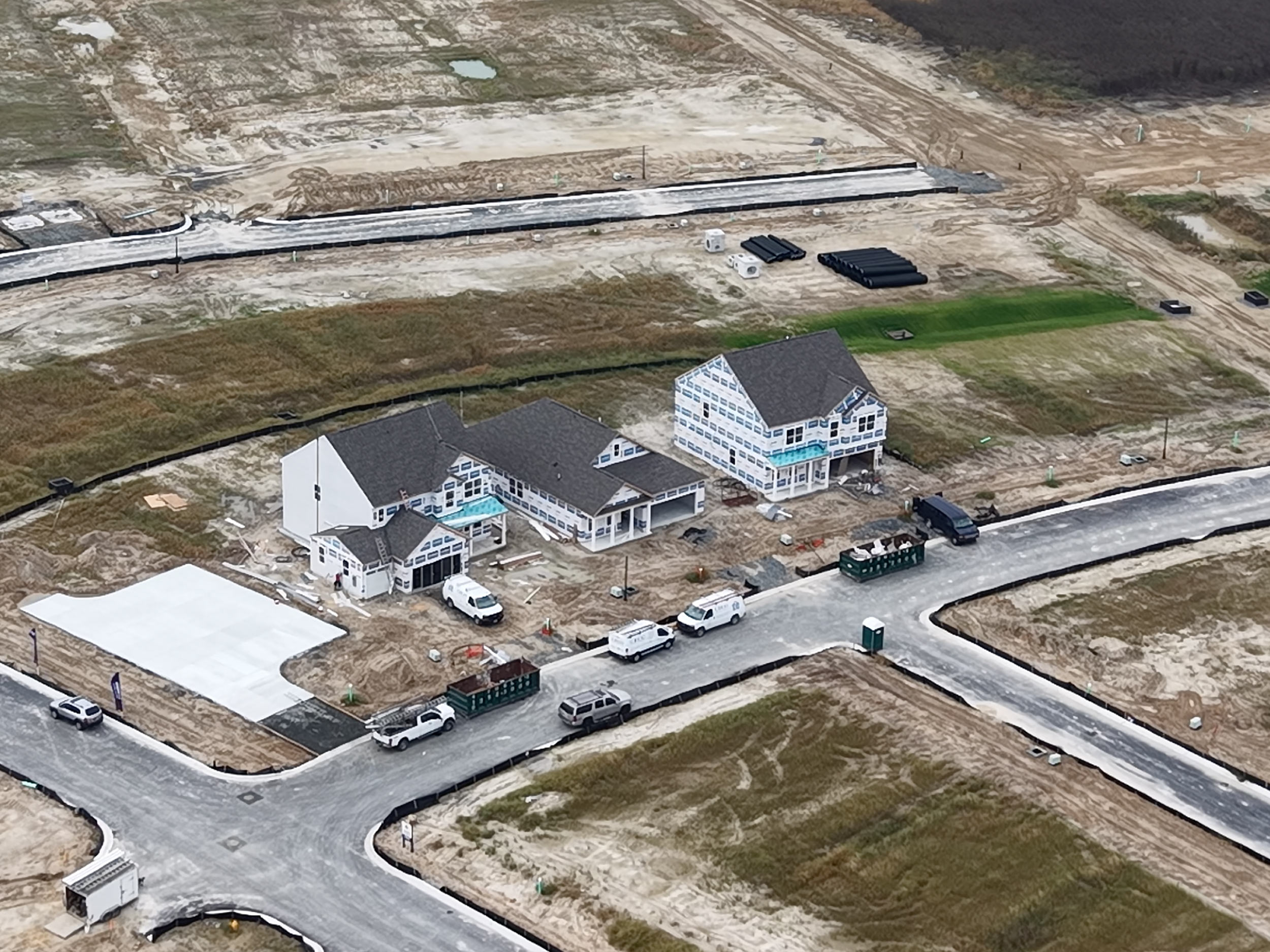
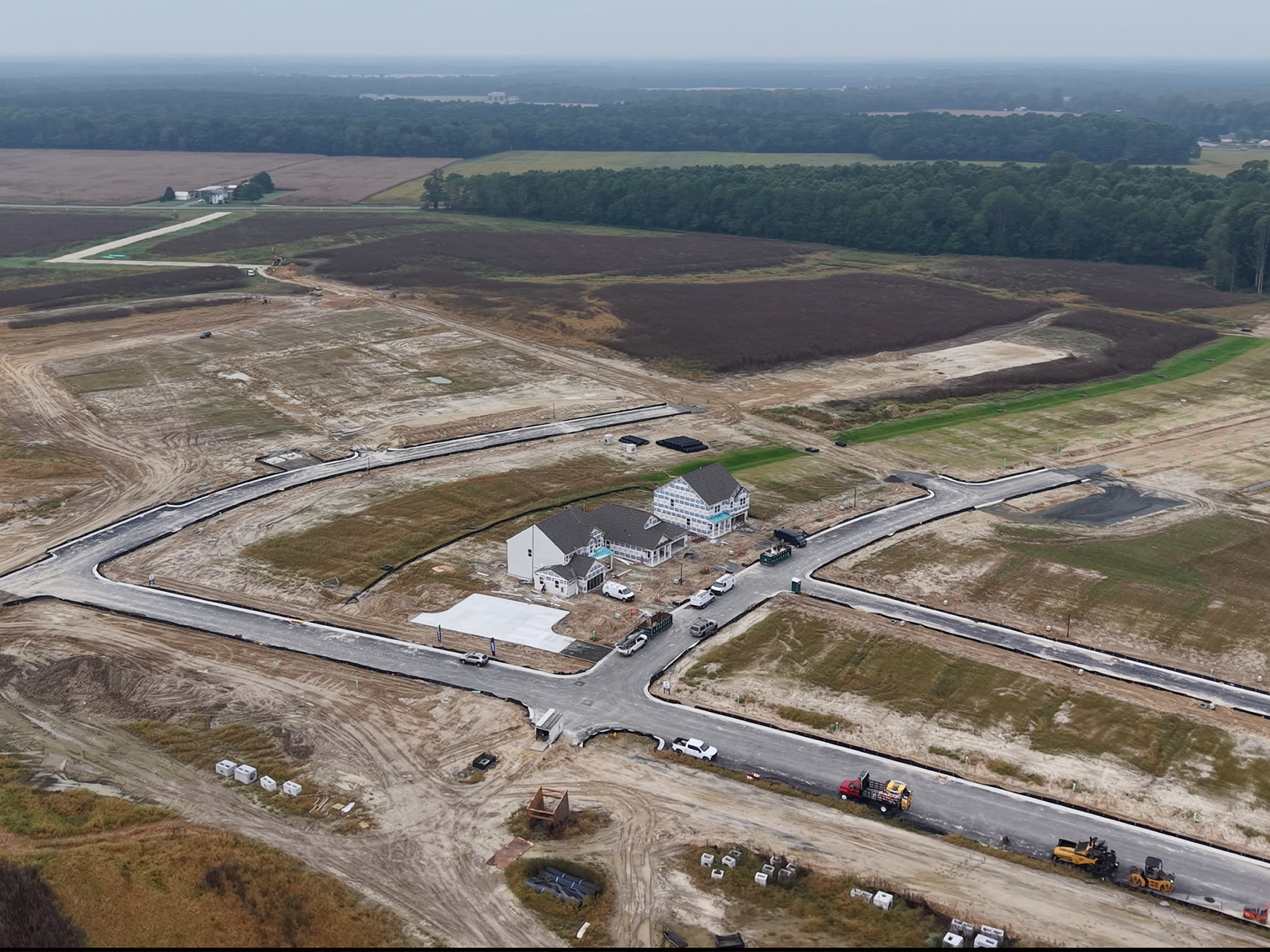
Real Construction Projects. Real Visibility.
Aerial photos and video captured for active construction sites to document progress, site layout, and change over time.
FAA Part 107 Certified
Fully Insured
Construction-Focused
Common Challenges
Why Contractors Use Drone Media
Common Construction Drone Packages
Progress Update Package
- High-resolution aerial photos (top-down and angled)
- Short 4K flyover video highlighting current site status
- Ideal for client updates, internal reviews, and remote stakeholders
Milestone Documentation Package
- Aerial photo and video coverage tied to key build phases
- Consistent framing for before-and-after comparisons
- Useful for permitting, scope tracking, and dispute support
Final Build Marketing Package
- Polished aerial photos and video for portfolios and promotion
- Wide context shots showing scale and surroundings
- Ready for websites, proposals, and social media
Packages are flexible and can be adjusted based on site size, timeline, and access.
Local, Reliable, and Flexible
Serving builders and contractors across Delaware and nearby regions. Still photos and basic videos are often delivered in 48–72 hours, depending on location and scope.
Let’s Talk About Your Project.
You’ll hear back quickly with next steps or follow-up questions.